It’s always good to hear how Xpedition2 is helping our users have adventures. That’s why we were particularly pleased to hear from Glyn Dodson who has recently undertaken two interesting trips – one to Germany and another closer to home on the Isle of Mull.
A visit to the Isle of Mull. Take a walk on the wild side!
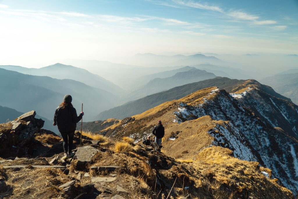
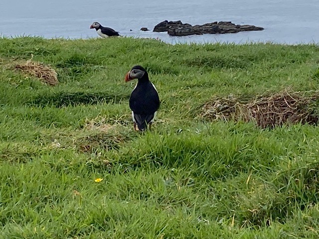
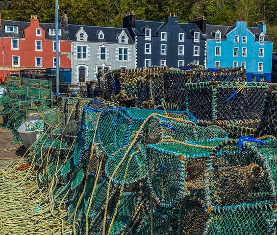
Long-time subscriber, Glyn used Xpedition2 to plan a series of walks to explore the wild scenery and wildlife of Mull, part of the Inner Hebrides. (The principal (and only) town, Tobermory also stars as BBC’s Balamory). The island serves as a launch point for boat trips to Lunga to see the charismatic puffins, and to Staffa for a hike to the legendary Fingal’s Cave.
He said: “We used Xpedition2 to plot our trail, short walks more to enjoy the scenery than achieve anything. If you have never been to the Inner Hebrides you should go, fantastic scenery and Mull is a laid back beautiful wee isle.”
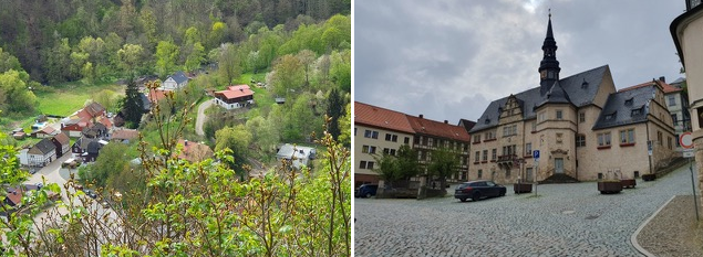
The Harz Mountains: An Adventure in Saxony
Glyn and his wife Fi also enjoyed a fabulous adventure in Germany where they did lots of exploring on foot, guided by the routes they had planned with Xpedition2 and then downloaded via the Xplorer GPS app.
“I cannot begin to tell you how well Xplorer worked,” enthused Glyn. “We were in Thale for three days and for that, I planned and downloaded three routes, a short one (5 miles) on day one to see and walk the Devil’s Wall, the second day a mountainous route around the Bodetal (11 miles and a climb/descent of 1500 feet) and the final day a walk (11 miles with 400 feet of ascent/descent) between two villages.
“There is no way we could have achieved the walks without the routes on Xplorer, in particular the second day. There was a particularly bad descent down the Bodetal due to avalanches earlier in the year making the path virtually invisible under the rocks and rubble and I don’t think could have continued if we didn’t have the route on Xplorer to guide us.”
If you have been an Xpedition2 customer for a while you’ll know that you used to need download routes to a SatMap device. Now, however, we have replaced this with the Xplorer GPS app which works on any mobile device, from your phone to your Garmin.
Glyn admits he was sceptical about using the app in the beginning but his experience in Harz has ‘converted’ him.
“Having the maps downloaded on the phone means it only uses GPS and not network signals thus saving battery use. This was further reinforced in Mull when I used Xplorer on my phone. There was no SIM card installed yet it recorded my tracks and saved them to Xpedition2.”
We hope Glyn’s experience will inspire you to get outdoors and go exploring!
If you’ve had an interesting trip using Xpedition2 for route planning and the Xplorer GPS app for navigation, please let us know – [email protected]. We’d love to share your stories with our user community.